
Fillmore Neighborhood Guide: What You Need to Know in 2026
The Fillmore neighborhood guide for 2026 starts with one key fact: according to U.S. Census Bureau estimates through 2023, Fillmore holds roughly 16,000 residents. This compact Ventura County city along Highway 126 offers small‑town character, mountain views, and agricultural heritage within about 20 miles of Ventura’s beaches. Tree‑lined Central Avenue, the historic downtown core, and the nearby Santa Clara River frame a community that balances affordability, outdoor access, and proximity to larger employment centers in Santa Clarita and the greater Los Angeles region.
How Is Fillmore Laid Out and What Are the Key Streets?
Fillmore’s core grid centers on Central Avenue and Ventura Street, the segment of State Route 126 that runs east–west through town. Residential blocks extend north toward First Street and south toward River Street, with many homes near Mountain View Street and Clay Street offering walkable access to markets and cafés. According to Walk Score, Fillmore posts a walk score in the low 60s, meaning many daily errands can be accomplished on foot in the downtown area.
Ventura Street carries regional traffic between Santa Clarita and Ventura, while Sespe Avenue and Orchard Street serve as quieter residential corridors. Old Telegraph Road, just south of the Santa Clara River, traces the edge of agricultural parcels and citrus groves, giving the southern part of town a more rural feel. The compact layout keeps most addresses within roughly 1 to 2 miles of Central Avenue, reducing local drive times and supporting neighborhood shopping along the main commercial spine.
Late afternoon along Central Avenue brings the warm glow of storefront lights reflecting off historic brick facades, while the distant hum of Highway 126 softens into background noise. The aroma of grilled carne asada drifts from La Fondita and El Pescador as families stroll past the Fillmore Historical Museum, pausing to listen to music spilling from open café doors. A slight citrus scent from nearby groves lingers in the air, giving the blocks between Sespe Avenue and Main Street a distinctive small‑town atmosphere.
What Housing Options and Price Ranges Define Fillmore in 2026?
Fillmore’s housing stock blends early‑1900s bungalows near downtown with newer subdivisions along River Street, Goodenough Road, and the neighborhoods east of Mountain View Street. According to Redfin data reviewed in early 2026, most closed single‑family sales in Fillmore cluster in a broad band between roughly $550,000 and $750,000, depending on age, size, and lot. That range often compares favorably with coastal Ventura neighborhoods, where many listings exceed $900,000.
Townhomes and smaller cottages near Sespe Avenue and Saratoga Street occasionally trade below the single‑family median, while larger properties near Goodenough Road or north of Fourth Street can climb significantly higher. Countywide luxury estates in nearby foothill communities may reach or exceed $2.4M, illustrating the relative value available within Fillmore’s city limits. According to Ventura County assessor data summarized by Niche, owner‑occupancy in Fillmore sits above 60%, reinforcing a stable residential base.
Newer construction on the east side, near Orchard Street and Edgewood Drive, tends to feature larger floor plans, attached garages, and more contemporary finishes. Many of these homes were built in the last 20 years and align with modern energy standards. Older properties closer to Central Avenue may trade some interior square footage for character details, such as original hardwood floors, mature shade trees, and deep front porches that support traditional block‑by‑block interaction.
Which Schools Serve Fillmore and How Do They Perform?
Public education in the city falls under the Fillmore Unified School District, with Fillmore High School on Central Avenue as the main campus for grades nine through twelve. According to GreatSchools data updated for 2025, Fillmore High enrolls roughly 1,000 students and reports a graduation rate in the mid‑ to high‑80% percent range. The school’s location near the Fillmore & Western Railway corridor keeps travel times short for many in‑town households.
Fillmore Middle School on First Street serves grades six through eight, while San Cayetano Elementary on Mountain View Street, Rio Vista Elementary near Fourth Street, and Sierra High School on Sespe Avenue anchor other parts of the district. GreatSchools and district reports referenced by Fillmore Unified School District indicate average class sizes around 23 to 26 students, which aligns with broader Ventura County norms. These campuses form a continuous educational corridor, limiting bus routes to relatively short distances inside city boundaries.
Morning arrival at Rio Vista Elementary brings the sharp sound of sneakers on concrete and the smell of fresh-cut grass drifting across the playground. Sunlight reflects off the low, white classroom buildings as students stream from cars along Sycamore Street, crossing under the watchful eye of crossing guards and staff. The nearby Santa Clara River levee and distant Topatopa Mountains create a wide, open sky backdrop that makes the campus feel both grounded and expansive.
What Parks, Recreation, and Local Landmarks Stand Out?
Fillmore offers an unusually broad park system for a small city. According to the City of Fillmore Parks and Recreation department, there are more than 10 developed parks, including Shiells Park, Delores Day Park, and Two Rivers Park. Shiells Park along C Street features athletic fields and picnic areas, while Delores Day Park near Third Street provides a quieter green space with playground equipment that attracts neighborhood families during late afternoons and weekends.
Two Rivers Park, just south of Highway 126 where the Santa Clara River and Sespe Creek converge, highlights the area’s agricultural and riparian landscape. Meadowlark Park on River Street, near the Meadowlark neighborhood, offers additional play structures and open lawns. Outdoor enthusiasts often access nearby hiking trails in the Los Padres National Forest within roughly 15 to 25 minutes of driving, depending on trailhead. Local destinations such as Bennett’s Honey Farm along Highway 126 and the Fillmore Fish Hatchery on East Telegraph Road provide educational outings focused on regional ecology and agriculture.
The Fillmore & Western Railway, operating along tracks paralleling Old Telegraph Road, serves as both a filming location and a tourist attraction with seasonal excursion trains. According to promotional materials summarized by Visit Ventura County Coast, themed train rides, holiday events, and film shoots bring thousands of visitors annually. These guests support restaurants along Central Avenue and Ventura Street, including long‑standing diners, coffee shops, and locally owned bakeries that maintain steady foot traffic throughout the year.
How Convenient Is Fillmore for Commuting and Daily Services?
Fillmore sits along State Route 126 roughly 20 miles east of Ventura and about 30 miles west of Santa Clarita. According to U.S. Census Bureau commuter data through 2023, many residents report average travel times in the 25 to 35 minute range, reflecting employment centers in both Ventura County and northern Los Angeles County. The linear nature of Highway 126 keeps regional connectivity straightforward, with on‑ramps accessed from Ventura Street at multiple points across the city.
Daily services cluster primarily along Ventura Street and Central Avenue, where Vons, Dollar General, and several independent markets sit within approximately 1 mile of most residential pockets. Pharmacies, banks, medical offices, and auto shops line Ventura Street between A Street and D Street, reducing the need for long drives for basic errands. According to business listings summarized by City of Fillmore materials, the commercial base includes more than 100 small businesses, from salons and taquerias to professional services and hardware outlets.
Regional transit options remain more limited than in larger cities, although Ventura County transit routes do connect Fillmore with Santa Paula and Ventura on scheduled buses. The nearest Amtrak and Metrolink rail connections lie about 18 to 22 miles away in Ventura and Santa Clarita. For many households along Sespe Avenue, Orchard Street, or Mountain View Street, this reality makes personal vehicles the primary transportation mode, while still allowing occasional park‑and‑ride use for longer coastal or Los Angeles trips.
The 16,000-resident scale cited at the start of this Fillmore neighborhood guide reflects a community large enough to support meaningful amenities yet compact enough for daily familiarity. That same population figure from the opening underscores the importance of understanding how limited inventory and modest commercial corridors interact in a small city context. The Ventura County Coastal Association of Realtors market reports provide one of the clearest ongoing windows into shifting supply and pricing trends. Buyers who register listing alerts through regional MLS‑connected portals and commit to touring promising Fillmore properties within 48 hours of activation before the late‑spring surge in May consistently secure better terms. Households that delay those steps until after early summer often encounter tighter inventory, more multiple‑offer situations, and higher final contract prices relative to comparable listings earlier in the season.
FROM OUR BLOG
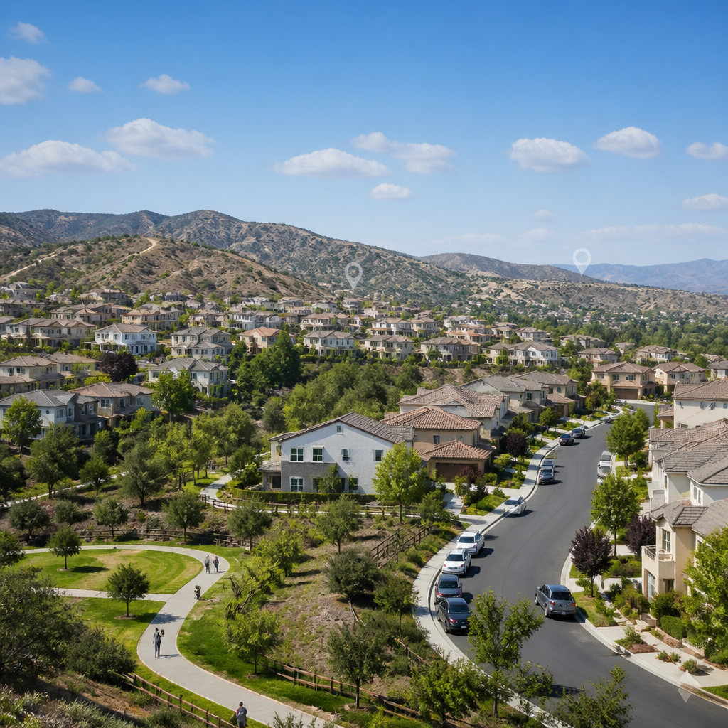
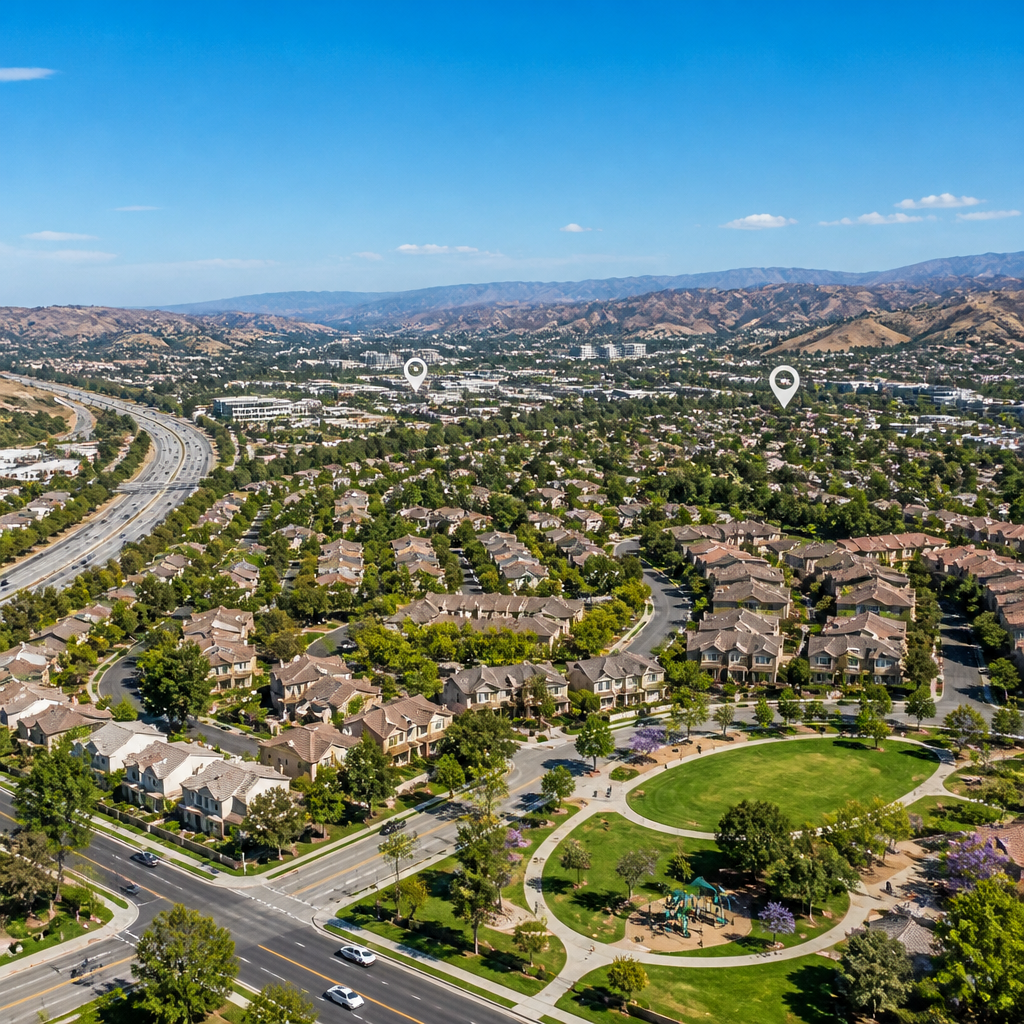
Discover Your Dream Home: Valencia CA Homes for Sale in 2026
Discover Your Dream Home: Valencia CA Homes for Sale in 2026 Valencia continues to anchor the Santa Clarita housing market with strong demand and limited supply. According to Realtor.com data through early 2025, typical listing prices in Valencia often range between $750,000 and $950,000, depending
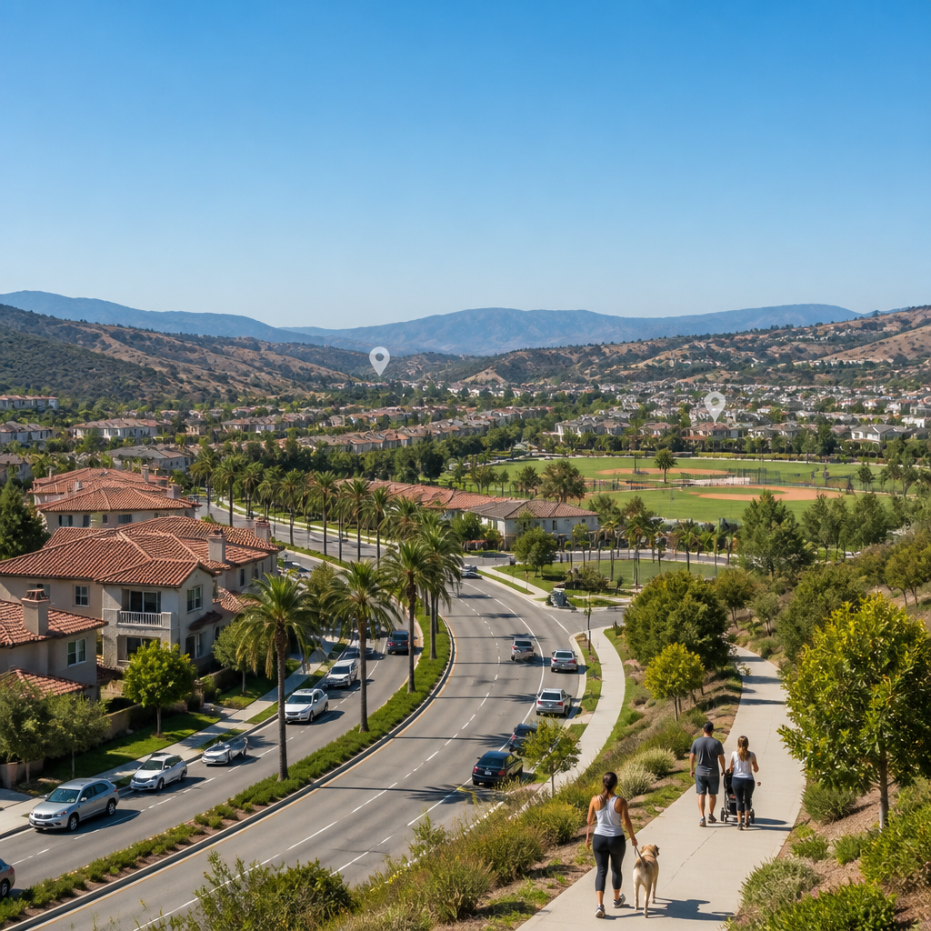
Moving to Stevenson Ranch CA: Essential Tips for New Residents
Moving to Stevenson Ranch CA: Essential Tips for New Residents Moving to Stevenson Ranch CA appeals to households seeking suburban calm with access to Los Angeles employment centers. According to Walk Score, Stevenson Ranch holds a car-dependent score in the low 20s, reflecting its residential, low-